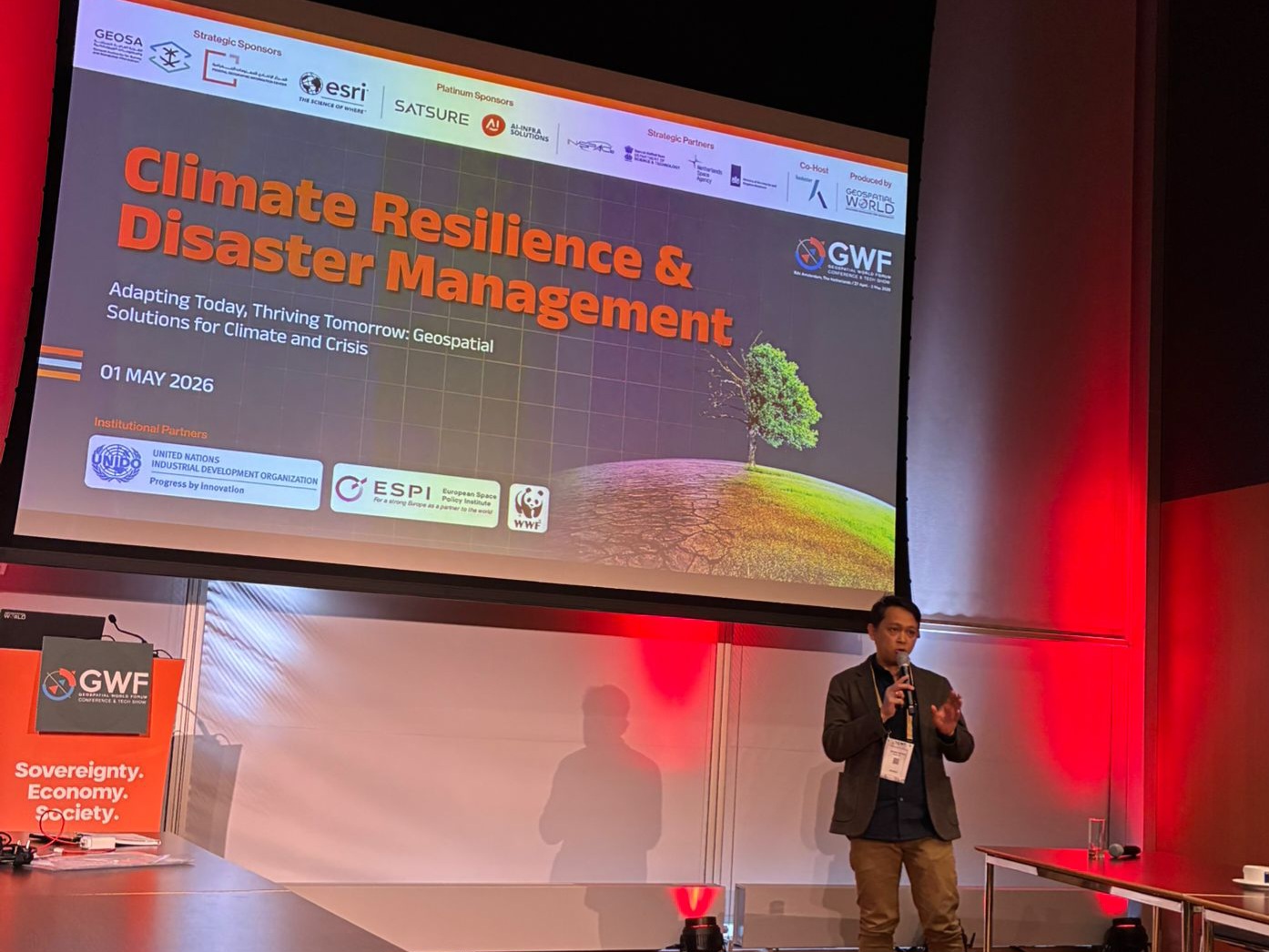
Amsterdam, The Netherlands — Last week, MosaiX joined the Geospatial World Forum 2026 in Amsterdam, where global leaders, technology innovators, policymakers, and geospatial practitioners gathered to discuss how geospatial intelligence can help the world respond to climate risks, disasters, and increasingly complex global supply chains.
Representing MosaiX, Ihwan Rafina, Founder and Director, spoke during the session “Disaster Management in a Multi-Hazard World.” His presentation, “Beyond Compliance: Building a Trusted Geospatial Intelligence Backbone for Deforestation-Free and Hazard-Resilient Supply Chains,” focused on one of the most urgent questions facing sustainability and resilience systems today: how can rapidly evolving geospatial and AI technologies be translated into trusted action on the ground?
Across the world, the race to adopt artificial intelligence, satellite monitoring, remote sensing, and automated risk analytics is accelerating. These technologies are changing how companies detect deforestation, monitor agricultural landscapes, assess disaster risks, and respond to regulatory requirements such as the EU Deforestation Regulation. They allow risks to be seen faster, mapped more clearly, and analyzed at a scale that was not possible a decade ago.
But MosaiX emphasized that technology alone is not enough.
In many agricultural supply chains, the hardest challenge is not simply detecting forest loss from space. The real challenge is proving origin, confirming land legality, understanding tenure, validating supplier information, and ensuring that smallholders and local communities are not left behind. If companies rely only on satellite data or AI-generated analysis, there is a risk of producing conclusions that look precise, but may still be incomplete, biased, or disconnected from local realities.
This is especially important in commodities such as palm oil, cocoa, coffee, and soy, where supply chains are often fragmented and shaped by informal networks, intermediaries, unclear land records, and varying legal frameworks. A satellite image may show a land-use change, but it cannot fully explain who manages the land, whether the plot is legally recognized, whether community rights are involved, or whether the farmer has access to the systems needed to prove compliance.
During the presentation, MosaiX shared that the future of geospatial intelligence should not be framed only as a race for better algorithms. It should also be a race to build better collaboration, stronger field verification, more inclusive data systems, and practical mechanisms that help people act on the information produced.
This is where transformation happens: not only in dashboards, maps, or AI models, but on the ground, through intensive engagement with suppliers, smallholders, communities, governments, civil society, and companies across the value chain.
MosaiX’s work is supported by a wider ecosystem with Inovasi Digital and Earthqualizer Foundation. Inovasi Digital plays a key role in developing practical digital platforms and geospatial tools that help companies translate complex sustainability requirements into operational workflows. These systems support traceability, deforestation-risk screening, compliance monitoring, supplier engagement, and reporting. Earthqualizer Foundation contributes long-standing field experience in forest conservation, community engagement, ecosystem recovery, and commodity-driven landscape transformation.
Together, this ecosystem bridges the gap between technology and implementation. It combines satellite-based intelligence, digital platforms, regulatory understanding, and direct field experience to support supply chains that are not only compliant, but also more resilient, inclusive, and credible.
The message from MosaiX in Amsterdam was clear: geospatial and AI technologies are powerful, but they must be used responsibly. To avoid bias, false confidence, or exclusion, they need to be supported by ground-truthing, participatory mapping, local knowledge, transparent methodologies, and collaborative decision-making.
As climate risks intensify and regulatory pressure grows, industries will increasingly depend on trusted geospatial intelligence. But the success of these systems will depend not only on how fast technology evolves, but on how well it is connected to people, places, and real action.
For MosaiX, this is the next frontier of sustainability and disaster resilience: moving beyond compliance, beyond monitoring, and beyond technology alone, toward a trusted intelligence backbone that supports transformation where it matters most, on the ground.